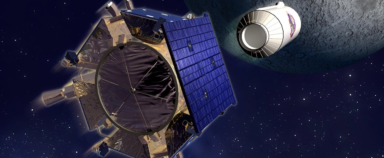
Artist's rendering of the LCROSS spacecraft and Centaur separation. Credit: NASANASA
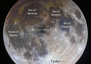
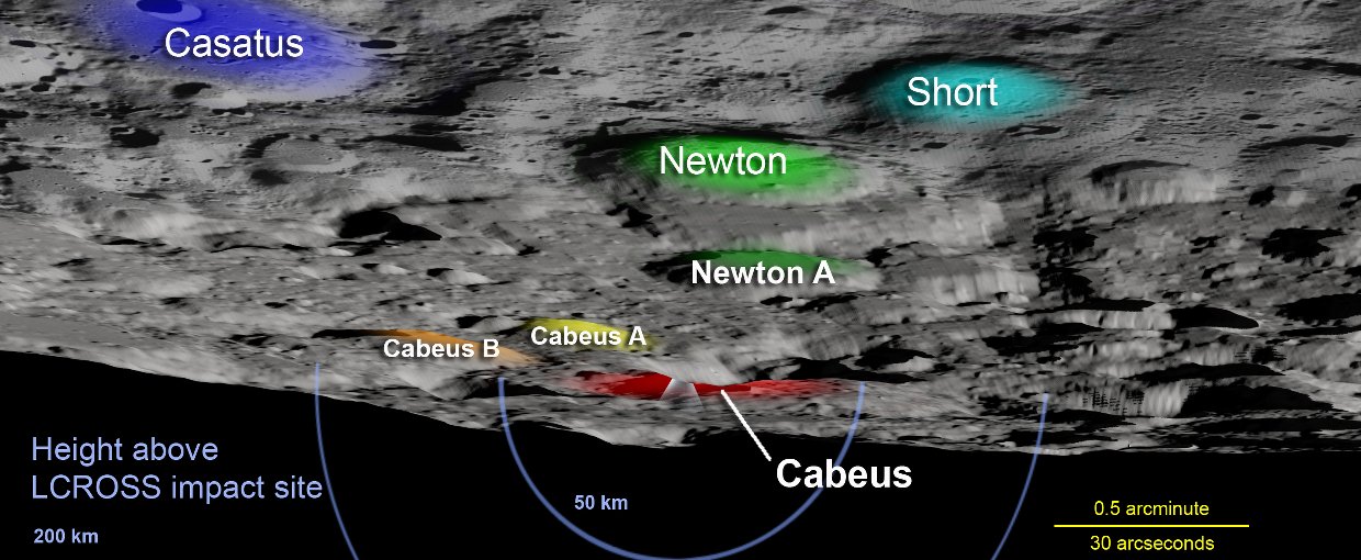
Key lunar landmarks used to locate Cabeus crater, the site of the LCROSS crash, are colored and labeled in this view. The yellow scale shows angular distances in the plane of the impact site. Credit: NASA/Goddard Space Flight Center Scientific Visualization StudioNASA/Goddard Space Flight Center Scientific Visualization Studio
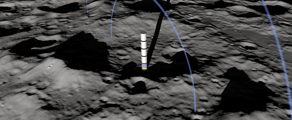
This visualization gives a bird's-eye view of Cabeus crater and the target zone for the crash site. A 3.5-kilometer-wide "flagpole" marks the targeted location within the crater. Colored stripes on the pole indicate one kilometer steps in elevation above the crater floor, black stripes indicate 5 kilometer steps. The pole stands 25 kilometers tall, and the blue rings mark heights of 50 and 100 kilometers above the impact site. Credit: NASA/Goddard Space Flight Center Scientific Visualization StudioNASA/Goddard Space Flight Center Scientific Visualization Studio

Mission name: LCROSS
Lunar Crater Observation and Sensing Satellite
LCROSS identified water ice and a water cycle on the Moon, providing clues about how rocky bodies might become habitable for life.
Mission news and discoveries